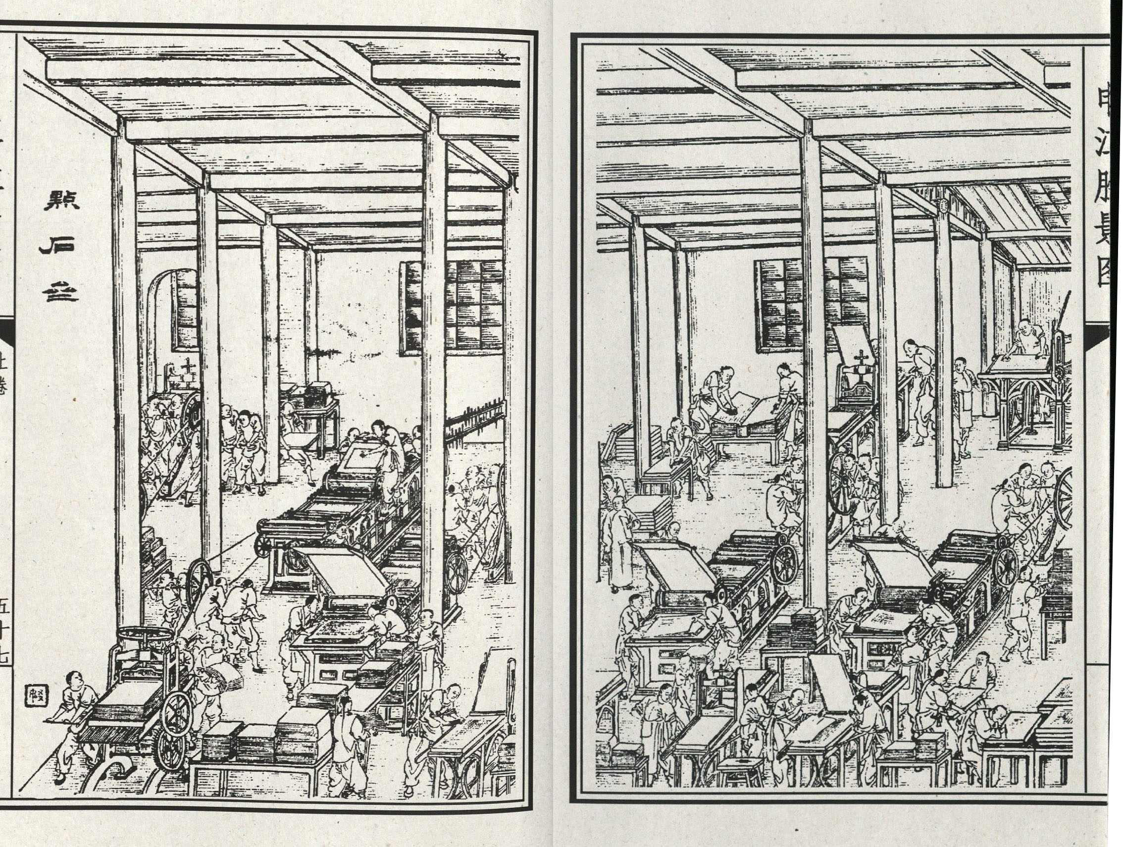
Background: About Dianshizhai
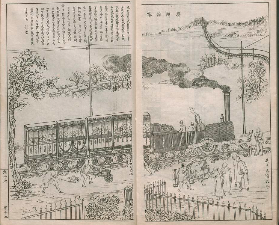
In its fourteen-year print run, Dianshizhai huabao featured more than 4,500 images of all aspects of life, foreign and domestic. The main requirement for inclusion was that these events were spectacular—that they were worthy of an audience. They did not have to be real. A small, but conspicuous portion of the lithographic images in Dianshizhai huabao turned their attention to contemporary technological advances like hot-air balloons, airplanes, and steamships, through which they speculated on the position of technology in society, and the differences between China and the West. Less than a dozen images in the pictorial featured trains, but this represent an early glimpse of the reception of a technology that has become one of the key markers of China's contemporary development.
The Dianshizhai press, and the larger Shenbao press that it was part of were owned by the British entrepreneurs Ernest and Frederick Major. It differed from other gazeteers in that it was a mass-produced publication meant for a popular audience. The foreign-owned, native-Chinese staffed serial publication was made possible by the new technologies and cultural encounters of the late 19th century in port cities like Shanghai. As products of colonial modernity, these images offered a window on world events, both real and imagined.
Perhaps unsurprisingly, images of trains appearing in the pictorial depicted this new marvel of transportation as a new way of moving, a problematic symbol of the dangers of western science, and a potential danger to local ways of life. Depictions of trains in the pictorial also situate them within the knowledge industry: a new mode of seeing and understanding the world, as well as being a new medium through which the world was put on display and rendered understandable.
The images of trains appearing in Dianshizhai huabao speak more to a changing social landscape than they do to a landscape physically changed by railroads. Envisioned through GIS mapping tools, the railway lines in this module would appear as little more than points on a map from any scale that renders their geographic context recognizable. Were they to be spatially represented with the fourth dimension of time factored in, one of the railway lines would actually disappear before its representation in print. Naturally, images and news of trains circulated globally and crossed cultures much more readily than actual trains.