This page was created by Michitake Aso. 

Bodies and Structures 2.0: Deep-Mapping Modern East Asian History

Vietnam in Revolutionary Geographies

Consider the following map published by the US Central Intelligence Agency in 1967. While this map presents a topographic view of Northern Vietnam, thus using the language of scientific objectivity, there were at least two important choices to note. First, it reproduces older Sinosphere and regional geographies by linking Northern Vietnam to its northern neighbor. This decision was not accidental, of course, and like earlier regional maps had a military motivation. Starting in 1965, the United States had sent its military to the Republic of Vietnam and began what is known in America as the Vietnam War. During this war, communist China sent aid and advisors to North Vietnam. Second, this map notes the major population centers of Hanoi and Thai Nguyen and shows them linked by a railroad. Both Hanoi, as the capital, and Thai Nguyen, as a major industrial city, were targets of incessant American bombing. The railroad linking the two cities was also a prime target [verify]. 


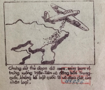
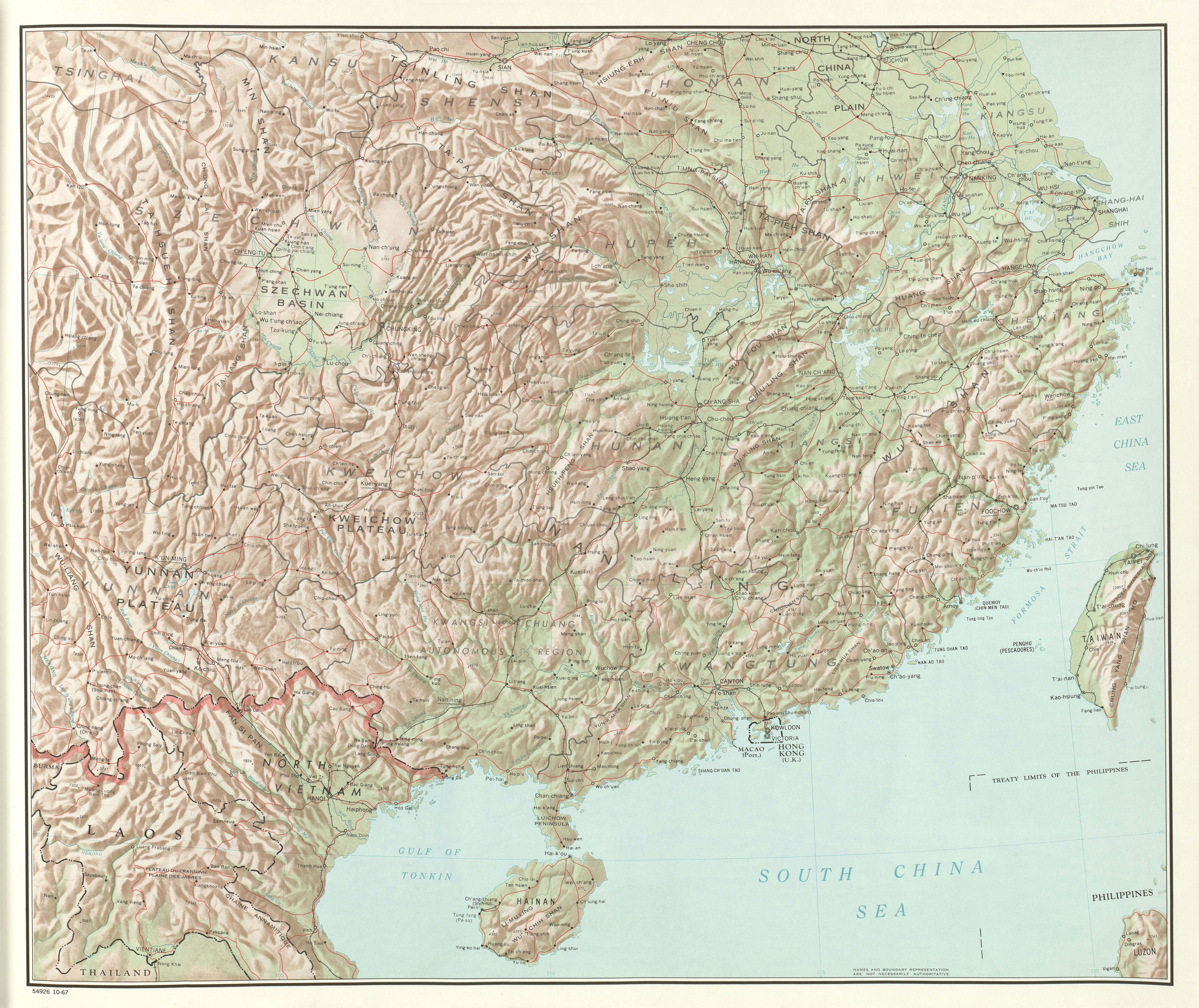
In this way, the shape of this map was the result of the victories of first the Chinese, and later the Vietnamese, communist parties.

By the 1970s, the National Liberation Front, and its ally the Democratic Republic of Vietnam, could even imagine themselves as the world leaders of the socialist countries.
 

This page has paths:

This page references: