Imperial Japan up in the Air
The advent of aviation in the early twentieth century opened up an uncertain and contingent space of the Japanese empire, in between borders that did not so neatly align between land, sea, and air. This new form of transportation superseded earlier networks of ships and rail, extending the Japanese empire westward, from Manchukuo to Inner Mongolia, and beyond.
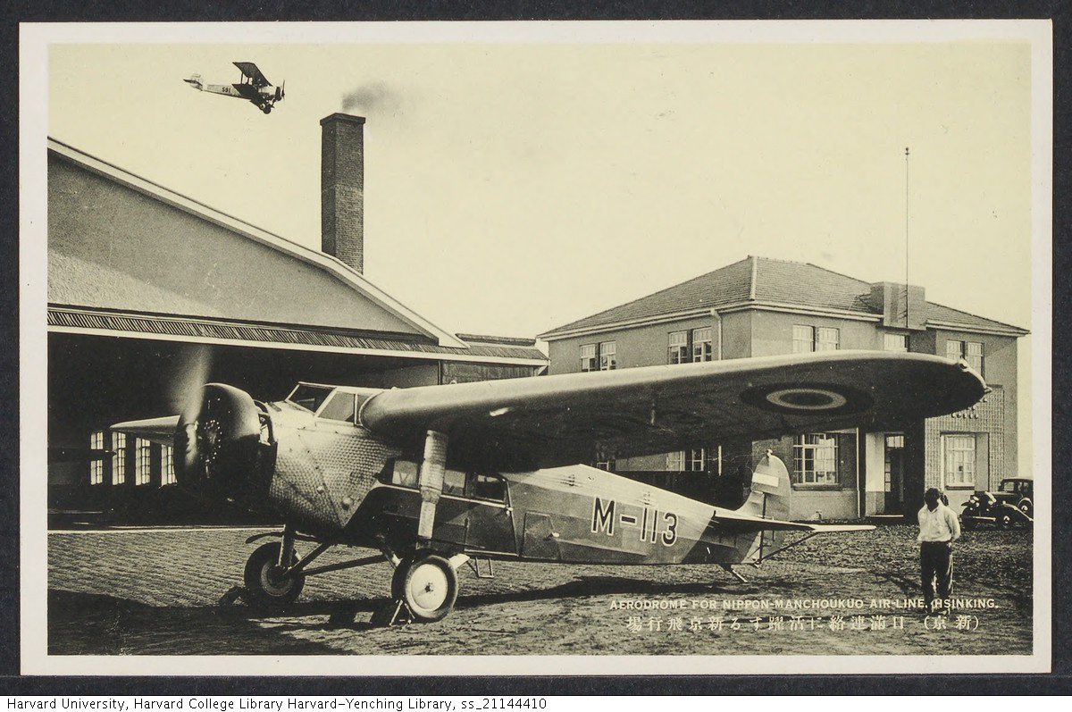
This module examines how the aerial perspective, as made possible by aviation, helped Japanese occupiers imagine the Eurasian continent in its geographical vastness, and yet how their terrestrial limitations ultimately failed to sustain control over this space. For imperial Japan, the Manchuria Aviation Company (J. Manshūkoku kōkū kabushiki kaisha), founded in 1932, would become the predominant presence over Inner Asia during the wartime era.
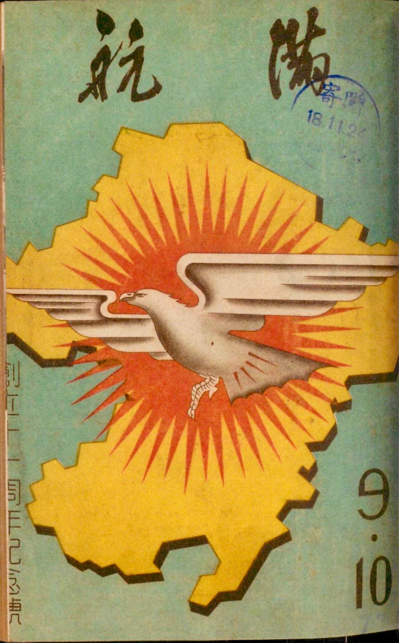
The first pathway, Reading ManAir Magazine, delves into the modern spaces created by the Manchuria Aviation Company through its in-house magazine, ManAir (J. Mankō). The Manchuria Aviation Company advertised its services by portraying its technological prowess and geographical reach. The corporation also sold the concept of flight with images of the modern woman and, as the Pacific War intensified, militarized children. ManAir intentionally conflated patriotic duty and its profit motive, using nationalism as a vehicle to drive its commercial viability.
The second pathway, Eurasian Expansion, explores how Japanese air control outpaced its land occupation, as the Manchuria Aviation Company flew farther into the Republic of China and made alliances with Mongol princes. The territory surveyed by the Manchuria Aviation Company was sprawling, their mode of vision, exclusive: besides Japanese endorsements and Chinese critiques, indigenous reactions to these aerial incursions, for the most part, did not exist.
Finally, the third pathway, Technologies of the Gaze, focuses on the seemingly objective renderings of the land produced by aerial photographs, developed in the ‘dark room’ of Japanese imperialism. This form of visual technology both fueled and followed geographical understandings of the Asian continent in the 1930s and 40s.
_thumb.jpg)
.jpg)