Sacred Geographies of Urban Colonial Taiwan: Jilong's Geography in Transformation
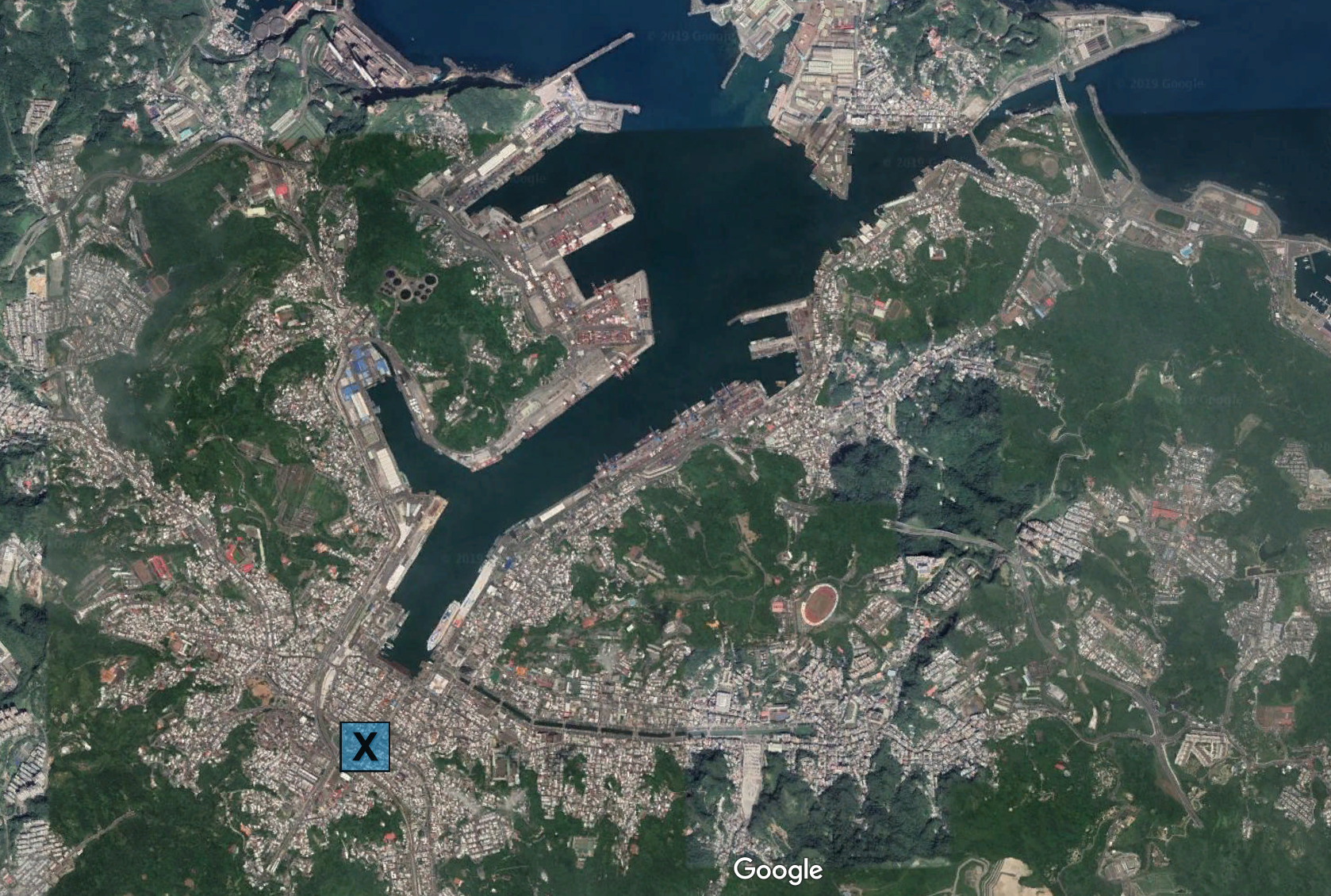
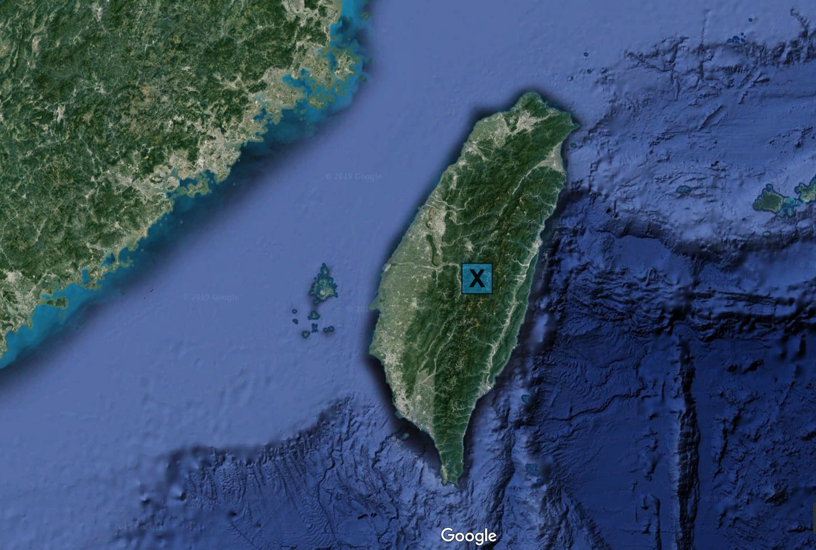
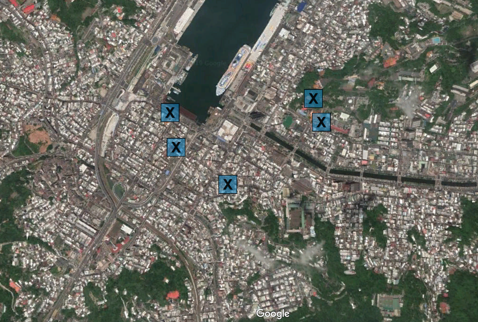
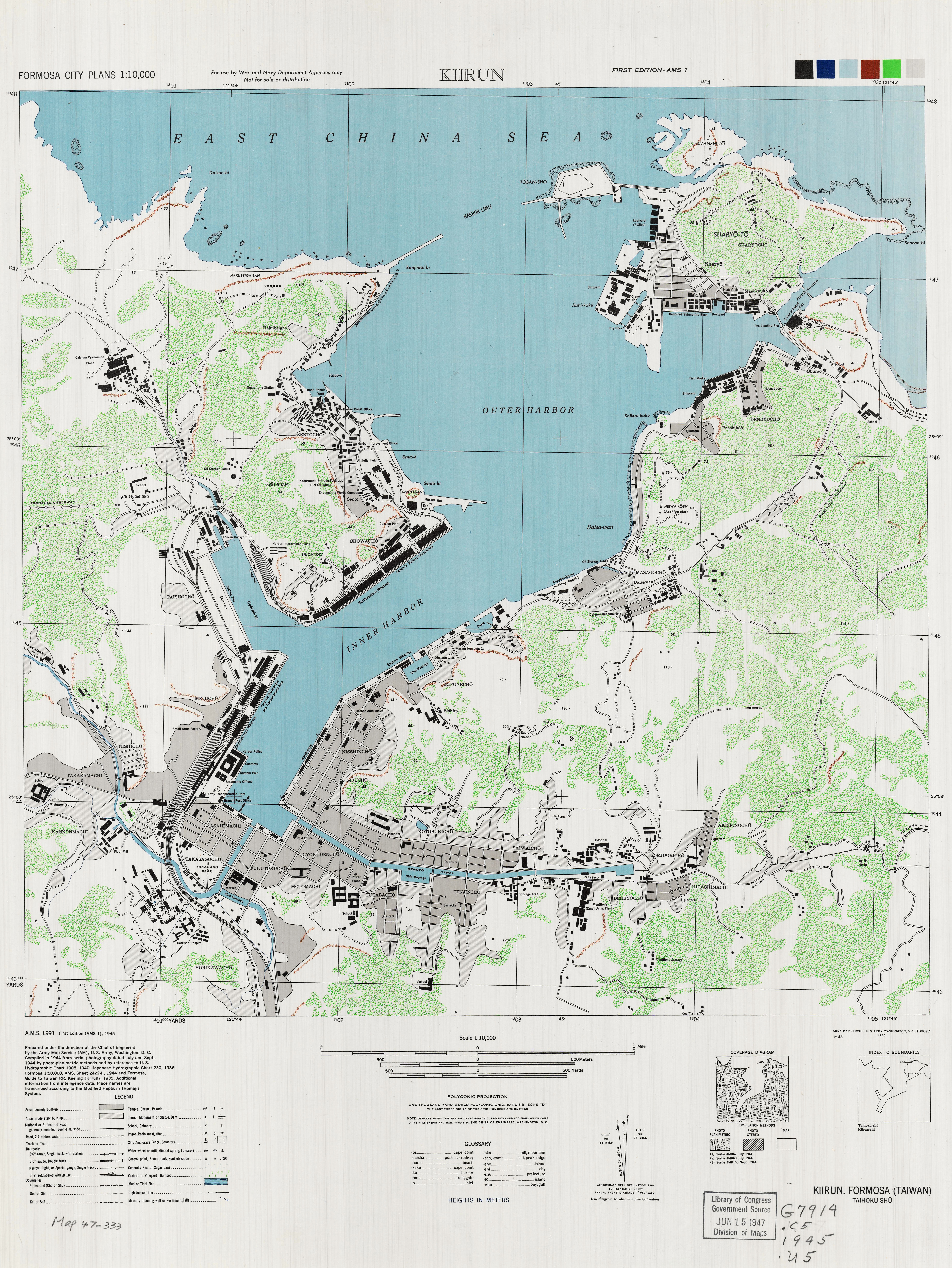
This module highlights the contested de/reterritorializtion of physical and sacred space partly through its cartographic content. The pages rely heavily on maps, both modified historical maps and new maps created by the author, to situate readers in the physical terrain of Jilong and to demonstrate the transformation of sacred territory that occurred in that place before, during, and after the era of Japanese colonization. At the top of each page is a map that locates it in physical space and, in most cases, indicates the sacred spaces significant to that page. These opening maps are intentionally devoid of political or cultural boundary lines, in order to emphasize the importance of the sacred locations--that is, the temples--that were the most important physical manifestations of both sacred geography and particular territorializing projects. These elements emerge much more clearly in the maps within many of the pages, in which I have used historic maps--one from 1885 and one from 1929--to demonstrate both the physical transformation of Jilong during the Japanese occupation and, more importantly, the cartographic locations of each of the key temples and, through color-coding (see above), the broadly-defined socio-cultural affiliation of each one. These maps are primarily tools, or points of reference, to help readers visualize the interplay between imagined geography and physical terrain, and to see the advance and retreat of Taiwanese and Japanese sacred space. However, readers should not assume from the points on the maps that the link between a temple and an identity was natural or absolute, rather, they should see the relationship as a process of construction and reconstruction.
Furthermore, the interactive nature of the Taiwanese and Japanese projects is reinforced by the module's structure. Clicking on specific segments of the radial diagram below reveals the pathways to which each connects, and the intersection of pages, media, and chunks of sacred space. The module diverges along two main pathways--one Taiwanese, one Japanese--and then subdivides within each. However, some of these threads converge, and then diverge, and sometimes converge again, at moments when individual projects either combined efforts or launched new forms of conflict. All threads come together at the end to display the failure of Japanese efforts to inscribe on Jilong a purely Japanese sacred geography, and the post-1945 full florescence of religion as a key marker of Taiwanese identity.
Readers are encouraged to explore the first pathway listed at the bottom of this page, Key Concepts, before they approach the two content pathways noted above. Doing so will help them to familiarize themselves with the key spatial and other concepts that inform the overall module, as well as to think about its structure and how to move through it.