Lines in the Air
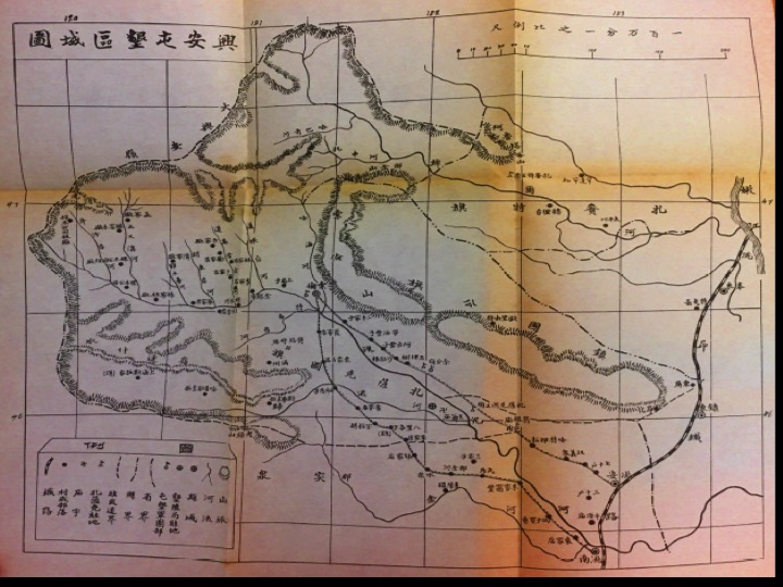
The Manchuria Aviation Company sought to become the predominant presence over Inner Mongolia in the 1930s and 40s. The ‘eye in the sky’ had initially developed as a technology of rule after the Great War. As Priya Satia argues, Britain had designed this system of policing, known as “air control” and implemented it in Iraq (Satia 2006). There, cultural ideas of restive nomads and shifting sands served to justify bombing the region into submission.
.jpg)
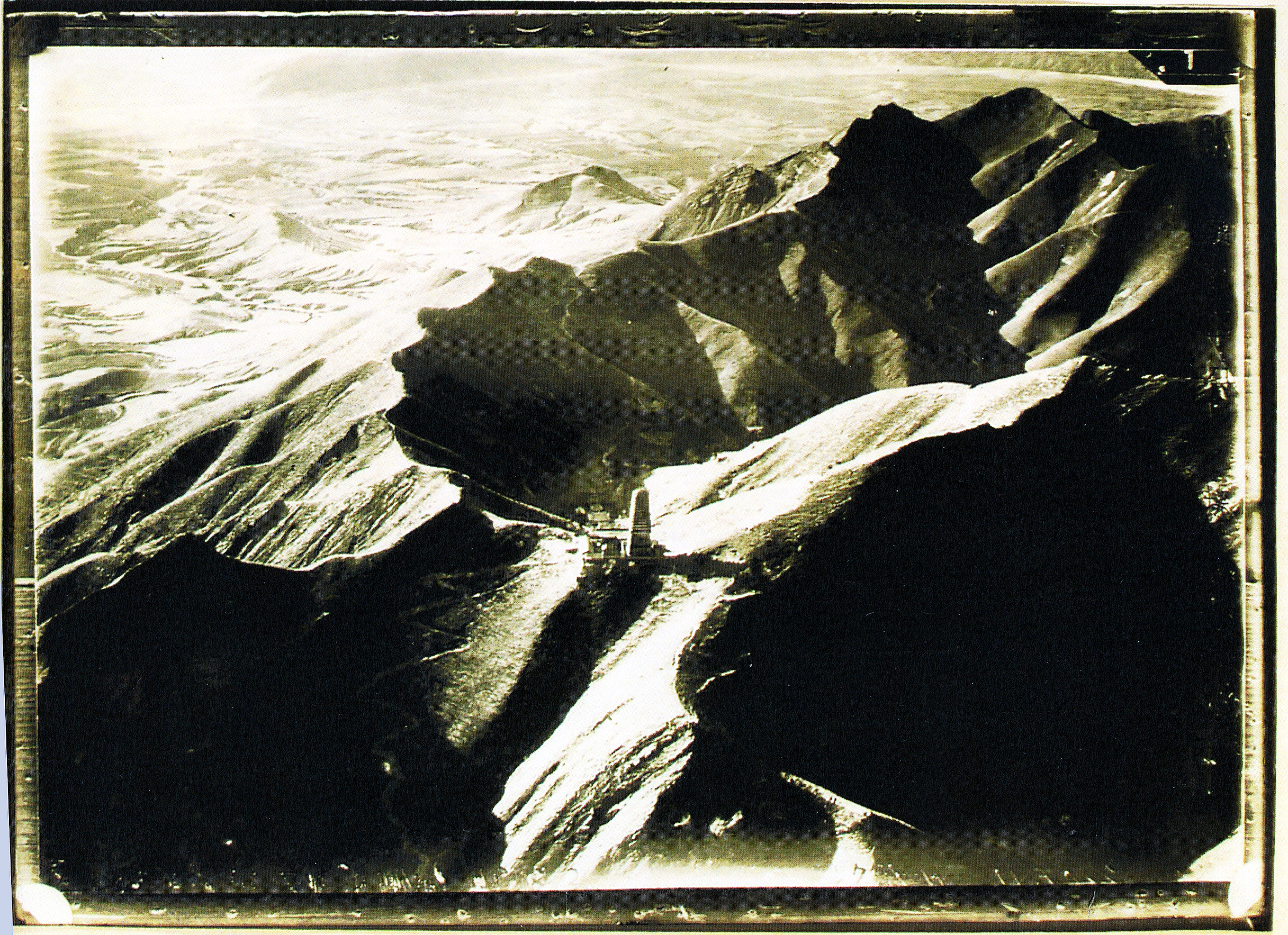
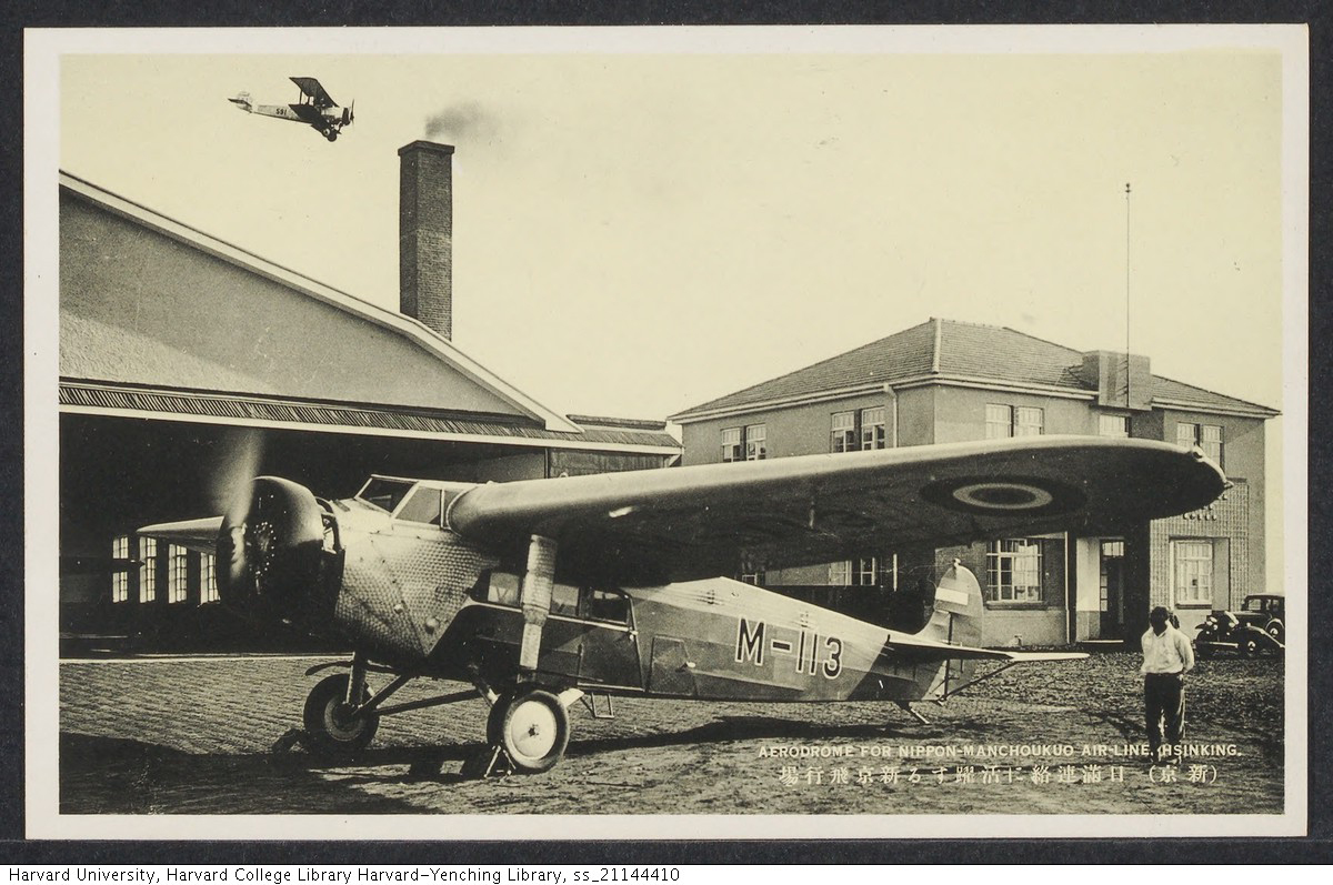
Assumptions regarding a similar geography lay at the heart of Japan’s drive to construct an aerial network in Manchukuo and extend it across Inner Mongolia, beyond the boundaries of its territorial regime. The Japanese airports that sprung up on the steppe would support an infrastructure that would challenge China’s sovereignty over the region.
To Japanese occupiers, the Eurasian continent necessitated this new mode of vision from the cockpit of an airplane. As Shellen Wu shows in her module, the northern borderlands emerged as a contested site between Imperial Japan, Republican and Communist China, and the Soviet Union, after the breakdown of the Qing empire. On the ground, Mongol, Tungusic, and Muslim minorities negotiated these rivalries as they sought to stake out autonomy for their own communities. After the Invasion of Manchuria, the incoming Japanese administration struggled to manage what they saw as this immense area, sparsely populated with indigenes, settlers, and the people in between.
.jpg)
.jpg)
_thumb.jpg)